 |
| Cradle Mountain sunrise |
Sunday morning, Derwent Bridge Hotel.
Breakfast. I joined a stiff, sore but very satisfied group of ultra-trail
runners to celebrate 82 kilometres of remote, undulating, unforgiving and wild
trail running. Only open to 60 runners it was a rare privilege to compete
in and complete the official race along a walking track that has been part of
my life for as long as I can remember.
 |
| Predawn reflections on Crater Lake |
For me, the race was a series of highs and lows but I'm pleased to report the highs well-and-truly outnumbered the lows.
High - Community
The pre-race briefing at Cradle Mountain Lodge, the
pre-dawn start at Waldheim Chalet, the Cynthia Bay finishing line and the
post-race breakky were all wonderful opportunities to mingle with like-minded
individuals. This included a good mix of runners from Tassie and further
afield along with organisers, officials and sweeps. The word 'technical'
was bandied around a lot by the visitors. It's a bushwalking track.
What did they expect? To me the Overland Track is a superhighway but it's
all relative. In Tassie we keep hearing "Three Capes standard"
as a new way to describe trails which offer a dry boot experience and a smooth
and predictable surface. The Overland Track is not that and I hope it
never will be.
 |
| Friday evening pre race briefing |
High - Sunrise on Cradle Plateau and the Cirques
A 6am start put us on the Plateau for
sunrise. This coincided with Cradle Mountain peeping out from the mist
and Barn Bluff peering around the corner in the 'distance.' (In less than
two hours Barny would be a similar 'distance' behind me!) On the other
side of Cradle it felt heavenly as we commenced the descent into Waterfall
Valley with fluffy clouds filling the cirques below and early morning sun
drenching the peaks above.
 |
| Barn Bluff and Mt Inglis |
High - Windermere Plains
I clearly peaked a bit early. After blazing
down into waterfall valley at a rate of knots and celebrating my first ten kilometres
in under 90 minutes the steady grind of the open Windermere Plains made me
realise there was a lot of work to do. The sun was starting to have a
little kick in it although, thankfully, the air temperature was still nice and
cool. A brief descent into a cool mist accompanied my arrival at Lake
Windermere along with the realisation that I was still smack on the suggested
time needed for a 13-hour finish. Early days though!
 |
| Mount Emmett |
 |
| Waterfall Valley |
 |
| Lake Windermere |
High - Frog Flats and Pelion Plains
After collecting water at Pelion Creek a smooth, solitary descent to Frog Flats ensued. At the Forth River a couple of blokes caught me who were up for a chat. We chatted all the way up to Pelion Plains, which provided a welcome distraction from the climb, and I arrived at Pelion Hut still on track for my 13-hour target time.
 |
| Pine Forest Moor and Mount Pelion West |
 |
| Frog Flats |
Low - Pelion Gap
It's 4km from Pelion Hut up to the Gap with a
modest 200m rise in elevation. The ascent through frequently changing
vegetation communities felt ok. There was a bit of walking but I felt
they were still strong, purposeful strides. Much to my surprise it took a
full hour for this 4km section. Back in my early bushwalking days that's
how long it would take with a full pack! That little stat started to do
my head in.
 |
| Castle Crag, Mt Massif and Mt Hyperion |
 |
| Mounts Ossa and Doris from Pinestone Valley |
Low - Kia Ora
From the Gap I figured the downhill run to Kia Ora
Hut would give me a much-needed kick along but it didn't feel like it.
For the first time in the run I felt like I had to work even on the
downhill. I arrived at Kia Ora Hut only 7 minutes off my target pace but,
after 8 minutes glued to a rock in the middle of Kia Ora Creek, that blew out
to 15! The mental araldite holding me to the rock was the sudden
realisation I was only halfway.
 |
| Myrtle rainforest after Du Cane Hut |
High - Du Cane Gap
The shady, mossy myrtle forest after Du Cane Hut
seemed to reinvigorate me. The gradual climb up Du Cane Gap was over way
quicker than I expected which meant no more significant uphills for the entire
race. A quirky bonus on the climb was being cheered on by some distinctly
American accents. It turned out to be the Zpacks crew making a video to
promote their gear. When I passed Windy Ridge Hut I had dropped another
15 minutes from my target time which still left plenty of time to avoid the ignominy
of the Narcissus cut-off.


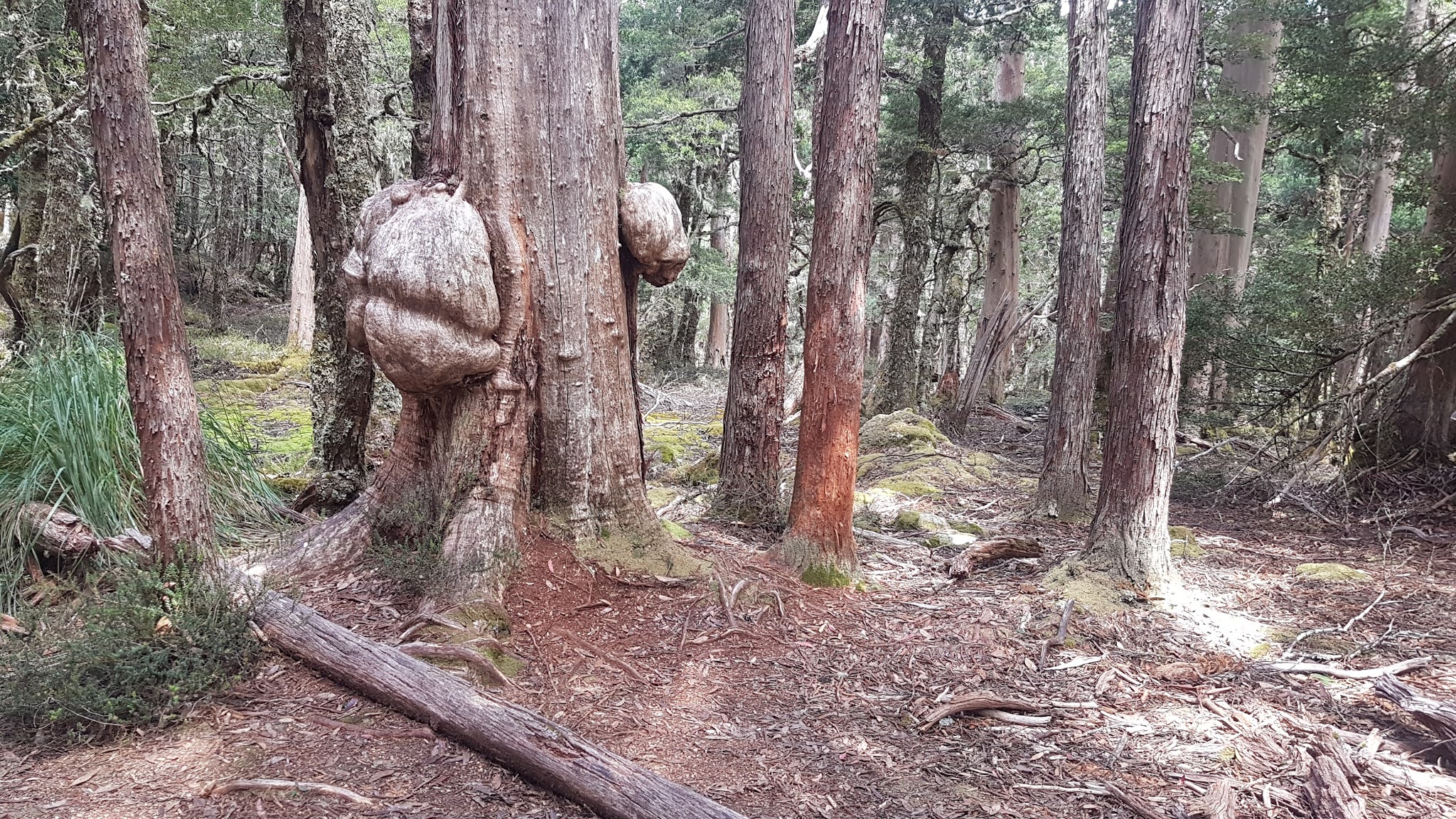
Wombat tree near Du Cane Gap
High - Kylie
I've already posted about Kylie inspiring me on my
trail running adventures. The bestest bit of the whole run was seeing
Kylie between Windy Ridge Hut and the Pine Valley turn off. After
watching the start, Kylie had driven from Cradle to Lake St Clair via
Queenstown, caught the ferry up the lake and walked/jogged several laps of the
track north of Narcissus to encourage me and accompany my last 25
kilometres. Thanks Kylie!
High - Narcissus Relief
Another 15 minutes slipped from my target time
between Windy and Narcissus but I was still a comfortable 30 minutes inside the
cut-off. To add to the joy the organisers had home cooked goodies on
offer which I gratefully accepted. These wonderful people wait for an
hour after the cut-off and then escort stragglers onto the ferry for a ride
down the lake rather than being allowed to complete the race too long after
dark. On this occasion four runners would have this dubious honour.
 |
| Runners, organisers and sweeps |
Low then High - The Lake
It's a long 20kms down the lake! I was down
to a shuffle and the countless undulations as the track rises and falls seemed
to get harder and harder. I had already been walking up the hills for
some time. I eventually got to the point where just seeing an uphill
ahead of me would make my shuffle reduce to a walk. Despite all this I
didn't lose any more time on the dreaded lake section. I had been aiming
for 13 hours as per the target times on the event website. My dawdle down
the lake was smack on the time they predicted!
 |
| Winners, Scott and Emma |
High - Mum, Dad and Henry
At Watersmeet I unwisely decided to commence my
sprint finish. My addled mind thought it was only a few hundred metres
from the end. It turned out to be seventeen hundred metres but I
stubbornly maintained the jog right the way through until the friendly and
supportive faces of my son, Henry, and my parents greeted me at the line.
The finish line official was an old hockey archrival of my dad's from way back
so they'd been having a lovely catch-up - it's a small island!

High - Preparation
I should have done a bit more but, then again, I
also don't want to bust my guts. I'm very happy with the time I achieved
and I was very happy to be 44th out of 48 finishers.
During the race I went through about 8 litres of sugar-free electrolyte (roughly one litre per 10km) and six sugary energy bars. Kylie read that separating energy and electrolyte intake is important as our body uses these at different rates. This helped me during the race as I was able to have a constant flow of electrolytes but saved the energy bars for when I felt my head was getting a bit dark.
Huge thanks go to Kylie, my family, the organisers, other runners and to Tasmania's Parks and Wildlife Service for this amazing experience.
http://www.cradlemtnrun.asn.au/


