Tuesday 12 September 2017

kunanyi / Mt Wellington Snow Run

Last Friday, with snow falling to low levels and a few spare hours, there was an obvious choice for a run: kunanyi / Mt Wellington.

Last time I did a snow run I added the summit as a side trip on my regular back yard loop.  I was after a shorter run this time so I drove 5 minutes to the trail head at the end of Lenah Valley Rd.  At this point the Lenah Valley Track heads uphill.  When combined with Old Hobartians, the top section of Hunters and Panorama Tracks along with a couple of sections of Pinnacle Road this makes the most direct route to the summit from close to home.

Snowing heavily at Panorama Track.  The road was ploughed clear only five minutes earlier.  That's more than a "flurry" falling!
In February Kylie and I tackled the summit run via this route and, for a change, ran separately to see how we would go.  At 2:04:37 it was my fastest trip up and back by far.  At the summit (half way by distance) I was approximately one kilometre or five minutes ahead of Kylie.  However, as her finishing time of 2:05:18 proves, she a fast descender.  In the last kilometre I passed a couple of walkers.  Much to my surprise a few seconds later I heard Kylie greet the same walkers.  She had no idea I was just in front.  I was therefore able to so a cheeky sprint to the line and maintain my 41 second 'winning' margin.  (Not that it was a race!)

Anyway, back to last week's run...
With deep, fresh snow on the ground and heavy snow still falling I figured this would not be a record breaking run but I was very interested to see just how much slower it would be.

Settled snow below sandstone cliffs on Old Hobartians Track
I hit the track at 1:40pm and struck falling snow only one kilometre up the track.  In the second kilometre I crossed the North-South Track and encountered my first settled snow just before reaching the sandstone overhangs.  By the time I reached The Chalet it was snowing heavily.  A snow plough headed past and only 5 minutes later the black road surface revealed in its wake was once again blanketed white.

Scree field below The Chalet
After negotiating the Panorama Track I decided to make a dash for the summit without adding any extra layers.  It was bearable until arriving at the car park.  Wind driven snow was howling unabated from the south.  Snow could not settle in those conditions.  Instead the road surface was a solid layer of ice.  On the short path to the pinnacle waist deep drifts lay in the lee of shrubs.  It was clear no one else had gone this way today.

Beard icicles and a pony tail anenometer
At the summit the obligatory selfie revealed I had developed beard icicles in the brief time it took me to negotiate the car park and pinnacle path.  It also revealed my hair made an effective anenometer which clearly indicated the winds were easily gale force.

Panorama Track
In no time I was back in the relative shelter of the Panorama Track.  Deep fresh powder made it possible to descend in leaps and bounds knowing the soft drifts made for safe, cushioned and forgiving landings.

Falling snow followed me all the way back to the car in Lenah Valley.  When I got home my son, Henry, concurred after seeing snow fall on the windscreen of his school bus as it trundled along Augusta Road at the same time.  Later in the afternoon I discovered Kylie had woken that morning to a dusting of snow on the tents of her Three Capes school trip at Cape Raoul.  At Tasmania's moderate latitude low level snow has always been and will continue to be a novelty!

"Partly sunny with flurries"!!!

Friday 1 September 2017

Imitation is the Sincerest Form of Flattery

A funny treat arrived in my inbox tonight: The latest YouTube installment from FloNo Trail

Just last Sunday I posted my Denmans Cove blog entry and, already, Flo & Nord have given it a go.  Their antics are quite amusing.

Stinking Bay

Sunday 27 August 2017

Denmans Cove

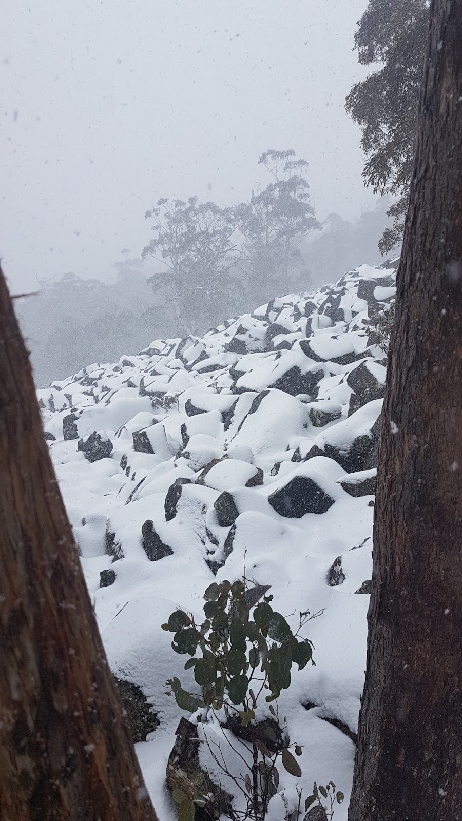
There have been four runs for me in the past month: A couple of jaunts along the Denmans Cove Track on the Tasman Peninsula (9th and 21st August) and a pair of Back Yard Loops (30th July and 13th August).

Stinking Bay - not living up to its name on this occasion
Anyone familiar with the new Three Capes Track will know that Denmans Cove is where the boat drops you for the start of the walk.  It is not so well known that an existing track to Denmans Cove starts from a car park at Oakwood.

Simmonds Creek
To reach the car park drive 350 metres along McManus Road which runs along the water in front of Port Arthur Lavender at the head of Long Bay.  Continue along Andersons Road for a further 1.2km to the car park where a gated road continues on to a recently established atlantic salmon farm.

Denmans Creek
The walk (jog in this case) starts by following the old road 750m up a gentle rise, passing a small dam along the way.  A sign then indicates the start of the single trail which descends 600m (distance, not altitude!) through wet stringy bark and blue gum forest to the shore.  The trail swings NE for 650m to arrive at Stinking Bay beach.

Sculpture/Sign marking the official start of the Three Capes Track at Denmans Cove.  This is one of many sculptures built to accompany the Three Capes Experience.  Each one links with an interpretive story in the guide book.  I personally like the old signs (below).
In contrast with its name, Stinking Bay was looking particularly idyllic last week with sun glistening on the crystal clear aqua waters and white sand.  Pied oystercatchers patrolled back and forth while the broody lagoon of Gathercoles Creek and the surrounding tall eucalypt forests completed the picture.  On several of my coastal runs nearby I've come across dead seals or whales so it's not hard to imagine how the uncomplimentary name was originally conceived.


Beyond Stinking Bay the trail heads into the coastal scrub, emerging to cross Simmonds Creek.  4.5km from the car park Denmans Cove is reached.  A side track leads down to the beach.  Denmans Creek must be crossed where it's tannin stained lagoon runs out to the sea.  Alternatively the track continues to a crossing between narrow grassy flats where the creek emerges from the forest.


On the other side of the beach an impressive sculpture marks the official start of the Three Capes Track.  For my purposes, a 500m sprint along the compacted gravel 'superhighway' brought me to a 5km turn-around so my total run distance would be 10km.  The immaculately constructed track makes for a stark contrast with the scratchy and, in places, hard-to-find trail from the car park.  My time of 1hr 50min for the 10km indicates just how scratchy the Denmans Cove track has become.


The first section of this run was through a reserve within Permanent Timber Production Zone*.  The trail from Stinking Bay to Denmans Cove including the start of the Three Capes Track is entirely contained within Future Potential Production Forest*.  My turn-around point was just inside the Tasman National Park.

* Tasmania no longer has State Forest.  A few years ago it was divided into Permanent Timber Production Zone (PTPZ) and Future Reserves.  After a change of government the Future Reserves with their old growth and high conservation forests were renamed Future Potential Production Forest (FPPF).  Ironically the PTPZ also contains old growth and high conservation forests - over 50% of PTPZ is unavailable for timber production for various reasons.

Saturday 29 July 2017

Back Yard Rain & Snow

Up and down tracks of my Pearl Izumis
(...and the 4WD tracks of a techo working on the TV towers)
A couple of runs to report in the past week.  Last Sunday some rain had switched on the New Town Rivulet at the Clapper Bridge.  This was a pleasant contrast from last week when we found the stream unseasonably dry. Puddles, light rainfall, wet forest smells and soft ground underfoot were all welcome on a lively loop.  Not our quickest time but not slowest either.


Clapper Bridge with water this week
On Wednesday fresh snow bedecked kunanyi / Mount Wellington making a spectacular sight from our back yard.  Late morning I headed out on the usual back yard loop.  After crossing the Clapper I turned right and headed uphill.  Light sleet greeted me just after the sandstone outcrops on Old Hobartians and a full-on snow flurry greeted me at The Chalet marking 1,000 metres above sea level.


Snow falling at the 1,000 metre level
From there on settled snow ensured I would have the road legs either side of the Panorama Track to myself.  A couple of winters ago a huge dump of snow famously hit Hobart.  On that occasion snow drifts were over 3 metres deep when Kylie and I followed the deep swathe freshly cut by the snow plough.  Back then there was no way Panorama could be an option.  In contrast this week's run was barely ankle deep at the most and Panorama was eminently 'followable.'


Panorama Track
At the summit I paid the obligatory visit to the trig point and, in the complete absence of other people, I also jogged out to each of the lookout points.  With a keen breeze blowing over the top and the mercury hovering around -2°C it was not time to linger so I scooted back down and completed the remainder of the back yard loop followed with the usual warm-down stroll up the hill to home.


Summit view to the north-east
Summit view to the south-east

Some vital statistics for the backyard loop with summit side trip:
Duration 3:24:38
Distance 22.4km
Avg pace 9:09 min/km
Ascent 1,096m
Descent 1,122m


Summit selfie

Tuesday 18 July 2017

Back Yard Loop - Bridges

Yesterday was a relaxing home day - perfect for getting back into running with a gentle back yard loop.


Mini troll's bridge
I mentioned the loop in my first bog post (Inspiration).  There are many facets to our loop which I could describe in more detail.  No prize for guessing what trail features caught my attention on this particular run.


Clapper bridge
As I took the photos I had to remind myself what season it is.  In summer, sections of the rivulet (pictured above) flow below ground... and July it would seem.  Many places in Eastern Tasmania have just had their record lowest June rainfall.  Sure, it's been cold and there have been days with snow on the mountains but there's plenty of talk about the dry.  Farmers are worried the ground will be too dry to sow their crops.  The Hydro are watching their dam levels* with fresh memories of our power connection to Victoria breaking during a record dry spell in 2015.


Ford
So, local trail runners, can you recognise any of these locations?  Apart from the first photo, all the other river crossings pictured are on the same watercourse.


Wooden bridge
From an engineering perspective the most interesting crossing would be the clapper bridge where a large slab of rock has been carefully perched.  For trail runners, the ford and stepping stones are a lively aspect of the run when (normal) winter snowfall and rain swell the rivulet to overflow these features.


Stepping stones
* Earlier this month I saw a Mercury headline claiming Hydro were worried about storages.  I tried to link the article but decided against it due to the pay wall.  When I looked for another news outlet reporting the story I found this correction from the Hydro (also linked above).  While the Hydro may not be 'nervously' watching storage levels, I stand by my statement that the Basslink failure would still be fresh in many people's minds.

Saturday 1 July 2017

Windermere to Pelion

Heading south to Pine Forest Moor just before sunrise.  Mt Oakleigh brooding in the distance.
Snowy walk, saturated run, even snowier walk.  What a way to spend a few days on Tasmania's iconic Overland Track!  This was my first time combining trail running with an overnight bushwalk.  On day one Kylie and I enjoyed a snowy wander from Dove Lake to Windermere Hut via Waterfall Valley (17.5km).  On day three we walked through even more snow back to Dove Lake via Lake Rodway (20km). Day two was our soggy but thoroughly enjoyable 32km jog to Pelion Hut and back.


Sun rising over the eastern Windermere Plains
Weather forecast for our running day was rain falling as snow above 1,000 metres.  We would be running the lowest section of the Overland Track dropping from 990m at Windermere down to 730m at Frog Flats then up to 850m at Pelion Hut.  This meant our day would feature the wet, heavy form of precipitation rather than the soft fluffy stuff.


Henry Creek Lookout*
Setting out was delightful.  No precipitation as we trotted over undulating snowy trails past Lake Curran and on to Pine Forest Moor and the Henry Creek Lookout*.  The sun rose on this section and the mists rising from the Lemonthyme Valley below were devine.


Kylie at Frog Flats
After crossing Pelion Creek the heavens opened.  Our gradual descent to the Forth River at Frog Flats was dominated by rain falling from above and snow melt running beneath our feet from every gully and rill.  We were making good time so high spirits carried us up the steady climb to Pelion Plains.  Just before reaching the Old Pelion Hut turn-off I spotted the start of the Thetis Ridge Track which was wiped off the National Park Map many moons ago.  Good to see it's still identifiable to those 'in-the-know'.


Mount Oakleigh and Pelion Plains from our halfway point
A long lunch break at Pelion Hut featured warm conversation to make up for the lack of gas heating - a broken valve we we led to believe.  After taking the obligatory veranda pic of Mount Oakleigh to prove we were there we headed back into the rain.

At the Frog Flats the juvenile Forth River was at exactly bank-full and ready to stretch its legs over the plain.  We passed our hut-mates from the previous night and set off up the hill.  The recent(ish - about 20 years ago) landslide and the distinct westerly turn of the track heralded our arrival at Pelion Creek before-which I identified the Pelion West Track - another dotted line wiped from recent versions of maps.
Pelion Falls
Here I made a side-trip to Pelion Falls just above the old Pelion Creek campsite.  As a member of the Tasmanian Waterfalls Facebook group I felt it would be irresponsible for me to cruise past twice in such soggy conditions without paying a visit.  The falls did not disappoint.  Perhaps I should not be promoting such off-track antics but waterfall fans will find it well worth a visit for the fun of scrambling directly behind the column of water (while staying dry).


Looking out from behind Pelion Falls
The last leg of our jog took us back over the exposed plains of Pine Forest Moor and Windermere through several icy showers.  Just before reaching the hut the showers turned back to full on drifty snow - a good sign for tomorrow's walk out which would be well and truly above the snow line most of the way.

* Henry Creek Lookout is actually signposted and officially named the Forth Valley Lookout.  However, it is dominated by the side-valley of Henry Creek which leads the eye towards the distant Forth Valley.  The name Henry Creek appeared on a Mines Department Map in 1930 and is therefore a reminder of the mining activity which sprung up around the Upper Forth Valley and Windermere Plains around that time.

Thursday 29 June 2017

Crescent Bay

Crescent Bay
Yesterday guiding work took me to the Tasman Peninsula where I get to enjoy a lunch break lasting over 2 hours. Perfect for a run. Starting at Safety Cove I  followed single track from the end of the beach, through the Tasman National Park around Briggs Point, past Dog Bark, over Stand Up Point to the blowholes north of Crescent Bay.  The view from Standup Point over the mouth of Port Arthur towards Arthurs Peak, Cape Pillar and Tasman Island is worth a standing ovation.*
Safety Cove Blowhole (east)
The blowholes were performing a treat which is not very conducive to a fast run. Like surfers waiting for the perfect wave, I hovered over each blowhole waiting for the big rush that would make for the best photo. Perhaps the next one will be best... or the next one...
Safety Cove Blowhole (west)

Eventually I dragged myself away from the entertainment and continued my run over the stunningly beautiful Crescent Bay Beach beneath towering sand dunes and onto the sandy track leading around Maingon Bay. My guest pickup deadline did not permit a run up Mount Brown - maybe next time.
Hooded plovers on Crescent Bay Beach - It's important to run/walk along the wet sand.  These little fellas nest in shallow hollows - so easily disturbed by a single footprint.

At Maingon Blowhole there were encouraging noises below the swell was not quite enough to make the Maingon Blowhole perform like it's smaller cousins at Crescent Bay. After a quick visit to Remarkable Cave a short run down the road and along the beach competed the circuit.

*This is not how Standup Point gets its name.  In keeping with the area it's a convict story.  I will tell the story next time I do this run.

Wednesday 28 June 2017

Inspiration

My trail running inspiration comes from many sources. I could mention my childhood home, family, faith, role models and many others. Perhaps living in Hobart, Tasmania on the slopes of kunanyi / Mount Wellington is inspiration enough.


Setting out on the half-marathon Roller Coaster Run
Recent inspiration springs from meeting my delightful, trail-running, South Australian wife, Kylie, in 2013.  That year featured the half-marathon Roller Coaster Run where Kylie and I first met then, a few months later, the 56km Yurebilla Run through the Adelaide Hills.


Feeling fresh after a warm-down jog a day after completing Yurebilla
The inspiration to give my trail running its own blog comes from watching the YouTube antics of Flo & Nord at FloNoTrail. This episode in particular caught my attention:
TRAINING for the WEEKEND

Nord's daily commitment to training is a far cry from my spasmodic approach.  I'm inspired! I also enjoy Flo & Nord's mastery of the technology which works so well together to produce such enjoyable viewing.

I do not have the time or gadgets to rival FloNoTrail. A few words and pictures are within my capability.  I will use the talents and resources with which I've been blessed and  have a go at sharing trail running stories and pictures via this blog.
Sunrise from our Back Yard Loop
Soon after moving to our home on the slopes of kunanyi / Mount Wellington, Kylie and I established our standard "Back Yard Loop", a ten kilometre circuit starting right outside our front door. We have an entrance to Wellington Park only 100 metres up the street!  From 185 metres above sea level we climb 260 metres and drop 310 finishing one kilometre from home.  This gives us a gentle, up-hill, warm down walk at the end.